

Flood risk assessment and catchment evidence before you commit.
Flood risk, drainage, nutrients and the whole catchment above your site, read by the Vireo Neural Map on one grid before you design, buy or apply. Brief your flood risk assessment, drainage strategy and nutrient budget from day one, and put monitoring where it proves the most.
Every enquiry is reviewed by the Vireo team. We reply within two working days.
See it read a real site. Tap live river, catchment, habitat and ground motion data before you send yours.
Explore the live map →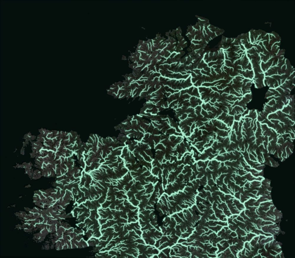
Rivers · Catchment · Terrain · Habitat · Ground motion. Every link from the headwaters to the sea.
One site, every layer
Water, terrain, habitat and ground motion on one grid, from your site to the sea.
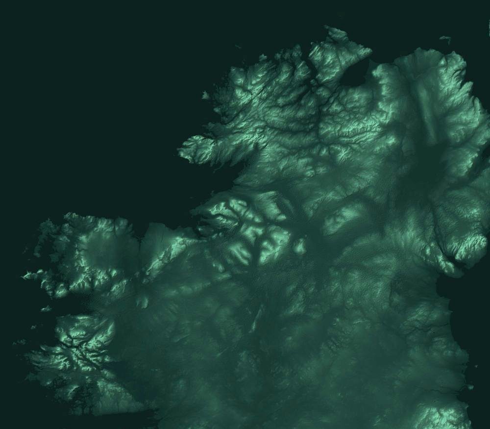
Your records and the public evidence for your ground are placed on one grid, so every layer answers the same question at the same place. Shown: the river network the Vireo Neural Map reads, every link from the headwaters to the sea.
- 4Signals on one 50 m gridWater held in the terrain, surface change from LiDAR, ground motion from radar, and soil depth with a band.
- 3Ways to read conditionWorking classes at 1 m, a satellite read at 10 m, and one harmonised score, side by side, with the cells where they disagree.
- 1Plan for where to look nextThe cells to check first, and a probe or survey plan with its expected gain stated in advance.
From scoping to consent
Evidence for every water decision on a site.
Site selection and due diligence
Flood zones, surface water, river links and catchment pressures across the whole search area, so the option you sign is the one water will not stop. See a live site read →
Flood risk assessment
Every flood map for planning trigger and every source on day one: rivers, sea, surface water and the catchment above, so your flood consultant starts on evidence, not on a wait for data.
Drainage strategy and SuDS
Terrain, soils, wetness and flow paths on one grid, so sustainable drainage systems (SuDS) are designed where water actually goes.
Nutrient neutrality
The catchment, its rivers and the land use upstream, read for the nutrient budget and the mitigation land that offsets it.
Natural flood management
Where water gathers, where it runs, and where leaky dams, ponds, woodland or restored bog would hold it longer. Restoration scoping guide →
Water stewardship and disclosure
Measured benefits in water units, cubic metres and load, for replenishment targets, TNFD and CSRD. Never converted to carbon.
Why this matters
Before anyone goes to site, someone has to decide where to focus. The records exist: gauge readings in a spreadsheet, a drainage survey in a PDF, a boundary in a GIS file. The pack reads them together and answers the question.
What the evidence supports, and where to firm it up
Main findings, the key uncertainties, and the recommended next step, written for the person who has to sign off the budget.
Every layer on the same grid
Peat and soil, terrain and wetness, satellite condition, surface change and ground motion, water and catchment context, read on one 10 m grid, 1 m where LiDAR is held.
What you supplied, how it was used
Each file checked for format, coverage, date, licence and relevance, then placed on the same grid as the public sources. Not an attachment at the back.
Source, date, licence, limitation
Every figure carries where it came from, when, under what licence and with what evidence tier, so it can be explained to colleagues, clients, funders or regulators.
Where to look next, in order
The cells where the reads disagree, the gaps in your records, and a walkable plan for probing, monitoring or assessment, with the expected gain stated before anyone walks it.
Thirty minutes on the findings
One factual-correction round and one call to walk through the pack and agree the next step.
What a site check looks like
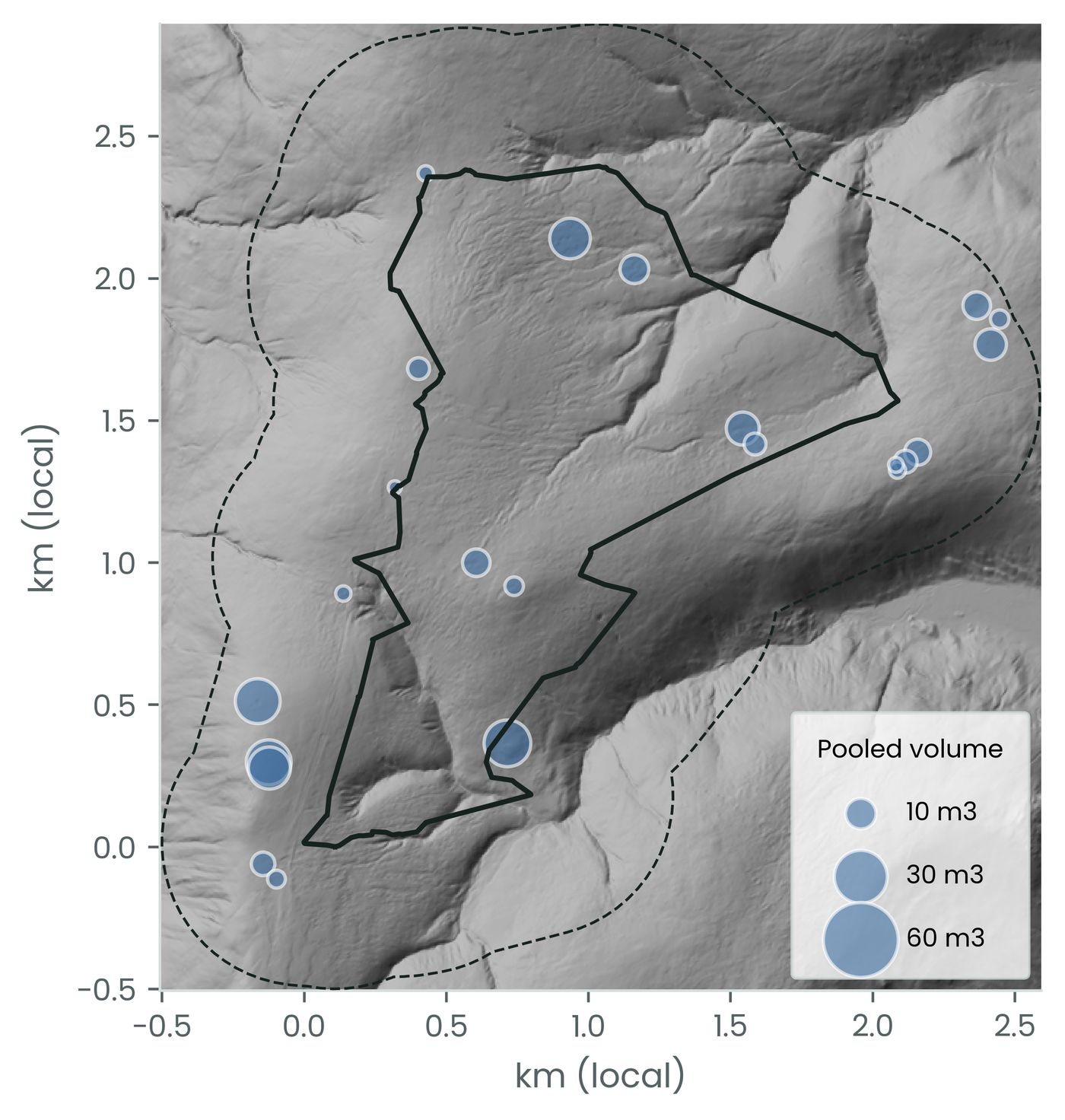
Flood risk assessment evidence, read by the Vireo Neural Map.
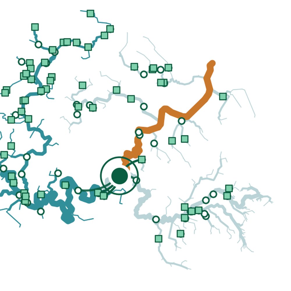
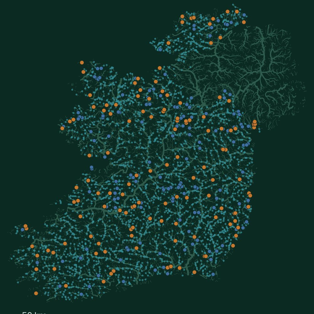
Water held on a site, the catchment above it, stream sites read against their neighbours, and the terrain every flow path follows. Different questions, one method. Your pack carries the layers that matter for your decision.
Proof behind every figure
Declared before it is scored. Scored once. Published either way.
Vireo sealed-test register, October 2026. See the blind-tested results
How it works
Send a boundary and your records. Get back a pack and a plan.
Send a boundary and your decision
One boundary, the decision you need to make, and a note of the records you hold. We confirm the site fits before you order.
We read your records with the public evidence
Up to ten of your files and the public evidence for that ground, placed on one grid and read together.
Pack in your hands
The pack, one factual-correction round and a 30-minute handover call on the findings and the next step.
Who it is for
Housebuilders and land promoters
Flood risk, drainage and nutrient neutrality settled before an option is signed.
Water and catchment managers
Schemes and monitoring placed where the catchment evidence says they pay.
Corporate water and sustainability teams
Basin evidence for stewardship targets and disclosure, reported in water units.
Launch offer
Ten sites at the launch price.
The pack briefs, and sits alongside, the flood risk assessment and drainage design your consultant signs.
Excluding VAT where applicable. The standard Site Evidence Pack price is £9,600 a site. The first three launch sites are delivered and reviewed before the remaining seven places open.
You pay £3,600 for the pack. You also receive a £3,600 credit towards a Vireo Site Assessment (£25,000), the calibrated read with sealed checks on your own probes, valid for 12 months from delivery of the pack.
Questions
Prices exclude VAT where applicable. Example outputs are from one anonymised upland site and show the format of your pack.
When does a site need a flood risk assessment?
In England, for development in Flood Zones 2 or 3, for sites of 1 hectare or more in Flood Zone 1, and where the flood map for planning shows a surface water risk now or in future, among other triggers set by the Environment Agency. Vireo reads every trigger for your boundary on day one, so you know before you instruct.
What are SuDS?
Sustainable drainage systems, or SuDS, manage rainfall close to where it falls, with swales, permeable paving, rain gardens, ponds and basins, so a developed site drains more like the land it replaced. Planning policy expects them on major development in England. Vireo maps where water gathers and runs on 1 m terrain, with soils and wetness, so SuDS go where they work.
What does Vireo provide for flood risk and drainage?
Flood zones, surface water, distance to main river, terrain, soils and the catchment above the site on one grid, with an evidence register your flood consultant can work from. The Environment Agency can take up to 20 working days to supply its detailed flood data; the pack lets the work start the day you order.
Can it support nutrient neutrality?
Yes. It reads the catchment, the land use upstream and the river monitoring sites along it, so the nutrient budget and any mitigation land rest on evidence. Where an Environmental Delivery Plan applies, it lets you compare the levy with your own mitigation on the same evidence. The first draft plan, for Norfolk, proposes £2,675 a home.
Can Vireo show where natural flood management will work?
Yes. Natural flood management holds water in the landscape with leaky dams, ponds, woodland, hedges and restored bog. Vireo maps where water gathers and runs on 1 m terrain wherever LiDAR is held, so schemes go where they hold the most water.
Does it report water benefits for stewardship and disclosure?
Yes, in water terms: cubic metres for volume, and load or concentration for quality, the units used in the World Resources Institute volumetric and water quality benefit accounting guides. Benefits are never converted to carbon, so they carry straight into stewardship targets, TNFD and CSRD reporting.
What does it cost?
£3,600 a site at the launch price, excluding VAT, credited against the Site Assessment (£25,000) that follows. Catchment-scale work is quoted on the boundary you send.